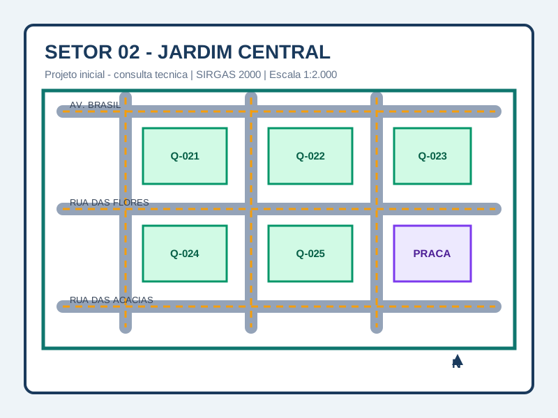
Initial project
Sector 02 — Central Garden
Preliminary plan for technical consultation, with road axes, blocks, public areas, and sector boundaries.
Integrated CTM — Multi-purpose Technical Cadastre for municipalities. From GNSS surveying to the public property record, with no gaps.
Cadastral map — sample data. Each parcel loads owner, area, use, and legal status information with profile-based access control.
Select a lot on the map
to view the property record
Register and publish maps of sectors, neighborhoods, and blocks so professionals and taxpayers can view boundaries, download plans, and follow official versions of the territorial cadastre.
Preliminary plan for technical consultation, with road axes, blocks, public areas, and sector boundaries.
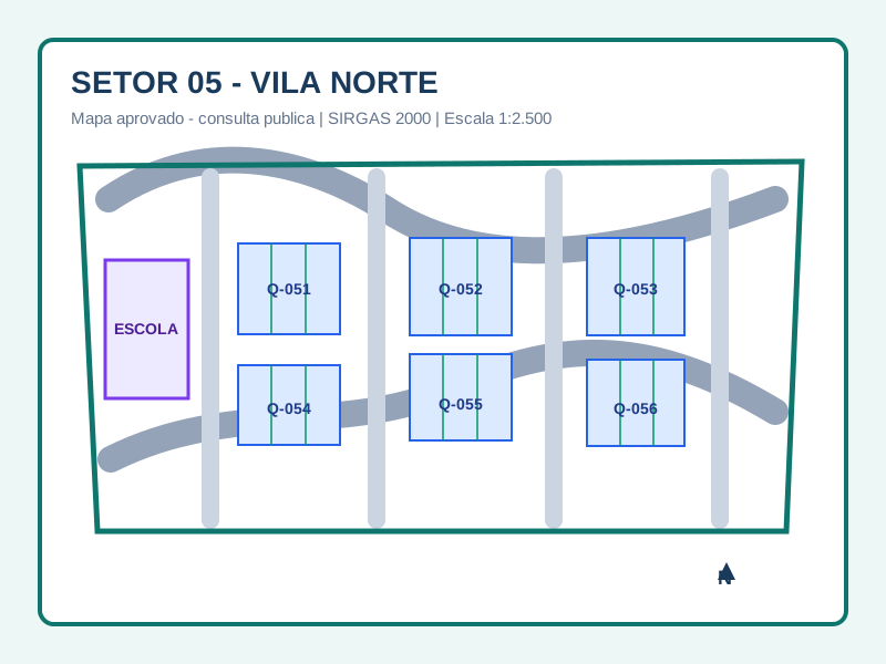
Sector map published for public consultation, with consolidated blocks and parcel identification.
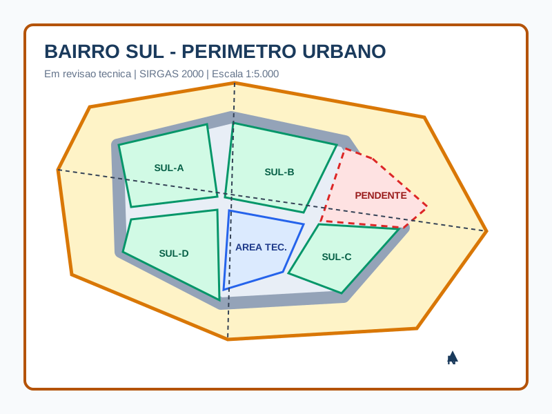
Version under analysis by the technical team, with update history and approval trail.
Citizens and professionals can reach the information through different paths: an interactive Leaflet and OpenStreetMap view, territorial map listings, IPTU/property code, or the owner logged-in area.
On-screen viewing with cadastral layers over an OpenStreetMap base map, lot selection, and property record opening.
Lookup by neighborhood, sector, block, or published version, with access to official maps for viewing or download.
Direct search by property code, cadastral registration, or IPTU identifier to locate the parcel and its public record.
Logged-in session for taxpayers to consult properties linked to their account, download documents, and track requests.
RTK GPS, total station, or simple GNSS. The FieldCollect app records vertices with CTM_URBANO or CTM_RURAL precision class.
Imported points are validated and approved by the responsible technician. Technical documents (plan, memorial, ART) are generated with full traceability.
The survey creates or updates the parcel in CTM. SQL code, PostGIS geometry, owner, and urban attributes are linked.
Citizens consult their property through the interactive map. Public data is visible to everyone; restricted data follows configurable access levels.
While SGSis manages the cadastre in the office, FieldCollect captures coordinates directly in the field — and points reach the system ready to generate parcel geometry.
Records points without internet. Syncs with the server as soon as the connection returns — essential for rural areas and uncovered perimeters.
CTM_URBANO, CTM_RURAL, and CTM_REFERENCIA classes. The app validates whether the receiver meets the minimum precision before recording the vertex.
Collected points reach the topographic survey in SGSis via API. No manual CSV export — the flow is continuous.
Photos linked to each point or to the entire parcel, with coordinate and timestamp stored in metadata. Audited field evidence.
Polygons stored in a geographic database with SRID support, automatic area calculation, and spatial queries (ST_Within, ST_Intersects).
Each property transfer is recorded with date, fraction, and relationship type. No history is lost.
Data structure aligned with the Brazilian CTM standard. Object types, statuses, and minimum attributes are already configured.
Public, authenticated, and internal layers. Citizens see address and area; public servants see owner and assessed value.
Supports multiple municipalities on the same platform or on a dedicated VPS per municipality. Data is fully isolated by organization.
The topographic survey is the pre-cadastre. Approved GNSS points directly feed the parcel geometry in CTM.
We present the system to technical teams and managers. No commitment.